Impervious Surface Mapping
Data Availability
These data are complete for the continental US and can be accessed throught the MRLC website.
Approach
The Natural Resources Spatial Analysis Laboratory (NARSAL) at the Institute of Ecology, University of Georgia was responsible for producing this part of the Southeast GAP project. NARSAL was contracted to do the mapping zones shown in green below.
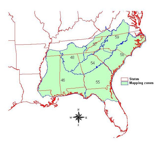 |
Figure: Mapping zones which will be mapped for impervious surfaces. Click on the map for a larger image. |
The methodologies employed are those set forth by EDC (Limin Yang et al, 2002). This approach is comprised of 4 primary phases:
- Interpretation of high spatial resolution imagery for a highly accurate training set.
- Use of training set, ETM+, and ancillary data to build a regression tree model in Cubist software.
- Application of this model for percent impervious classification.
- Creation of an urban mask to limit the extent of classification.
Each mapping zone is completed individually, with the goal of one regression for each zone.
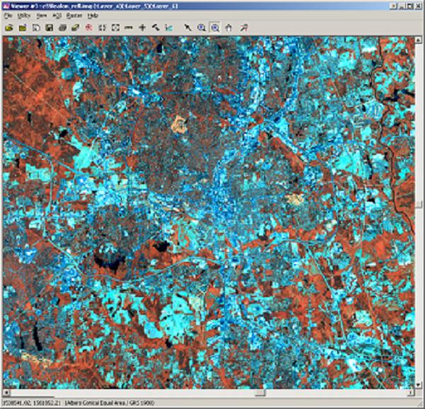
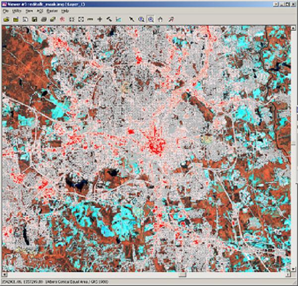
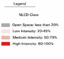
Preliminary classifications show a high quality impervious surface map. Below is the raw ETM+ imagery of Raleigh, North Carolina, a preliminary classification of the same area on top of the satellite imagery, and the legend for the classification.
 |
 |
|
Figure: Standard Landsat ETM+ false color composite image for Raleigh, NC. Click on the picture for a larger image. |
Figure: Preliminary impervious surface classification overlaid on Landsat ETM+ data for Raleigh NC. Click on the picture for a larger image. |
|
 |
||
Yang, L., Huang, C., Homer, C., Wylie, B., and Coan, M. 2003. An approach for mapping large-area impervious surfaces: Synergistic use of Landsat 7 ETM+ and high spatial resolution imagery. Canadian Journal of Remote Sensing, Vol. 29, No. 2, pp. 230-240.